IFNA
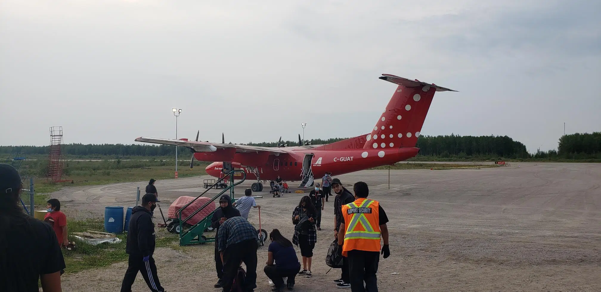
After four weeks the First Nation community of Pikangikum is finally returning home.
The vulnerable population was evacuated starting on July 12, with more than 1,000 people being taken out of the community to Sioux Lookout, Thunder Bay, Sudbury, and Timmins.
Chief Dean Owen says the fire threat has reduced somewhat to moderate and they are ready to have their community members return home.
“We thank all of our partners for the hard work they have put in over the last month. In particular, we thank the host communities that have kept our people housed, fed, comfortable and safe.”
However, Owen adds, “Everyone evacuated from Pikangikum is missing their homes, their families and their Pikangikum way of life.”
Mathew Hoppe is the CEO of the Independent First Nations Alliance and says they are hoping to have everyone back home by Saturday at the latest.
Meantime, about 800 forest fire evacuees from Deer Lake and Poplar Hill staying in Thunder Bay are being allowed to go home.
A handful of residents of Poplar Hill left Monday with flights continuing throughout the week.
Deer Lake evacuees will return home at the end of the week.
It’s a different story in the Kenora area as a voluntary evacuation of the Wabaseemoong First Nation has been ordered.
A flight will be going to London, Ontario Tuesday to take anyone who wants to be evacuated because of Kenora Fire 51.
Residents are also being given the option of going to Rat Portage First Nation.
The band says this is the last opportunity for a voluntary evacuation.
After today, there will only be limited support staff in the community.
There are 114 active forest fires in the northwest region and 13 are considered not under control.
Fires of Note
Kenora 51
-Kenora 51 is 200,667 hectares and remains active. Forecast weather conditions indicate light variable wind with moderate to intermittently intense fire activity depending on local conditions. Patchy rain over the fire is not expected to have a lasting effect.
-Kenora 51 remains 20 km north of Wabaseemoong on the northern side of Umfreville Lake.
-Water bombing aircraft and helicopters with buckets slowed the fire around Davidson Lake on the Manitoba border.
-Helicopters with buckets and firefighters with hose lines attacked hots spots and mopped up around property on the eastern edge of the fire.
-Bulldozers are constructing fire guard on the eastern edge of the fire.
-Crews are continuing to run sprinklers to protect properties
-Fire Rangers working to protect community values and critical infrastructure around the fire area.
-An Incident Management Team is established on the fire.
Red Lake 65
-The fire has been remapped to 20,254 hectares and located 6 kilometres west of Poplar Hill First Nation.
-Crews continue laying and working hose lines on strategic areas of the fires. Heli-buckets continue to assist where needed.
-Fire behaviour is smouldering with some visible smoke
Red Lake 51
-The fire has been remapped to 53,522 hectares and located approximately 24 kilometres west of Deer Lake First Nation.
-Priorities are focused on protection of Deer Lake First Nation.
-Crews are working hose lines along the east side of the fire.
-Fire behaviour is smouldering with some visible smoke.
-An Incident Management Team has been assigned to oversee this fire.
Red Lake 77
-The fire is not under control and is 27,899 ha, approximately 33 km west of Red Lake.
-Fire behaviour is smouldering with some open flame observed.
-Crews continue to establish hose lines working on the north east edge of the fire while Heli-buckets assisted with hot spots.
-Fireguard continues to be built east of the fire.
(With files from Tim Davidson/89.5 TheLake and Vasilios Bellos/99.9 The Bay)


