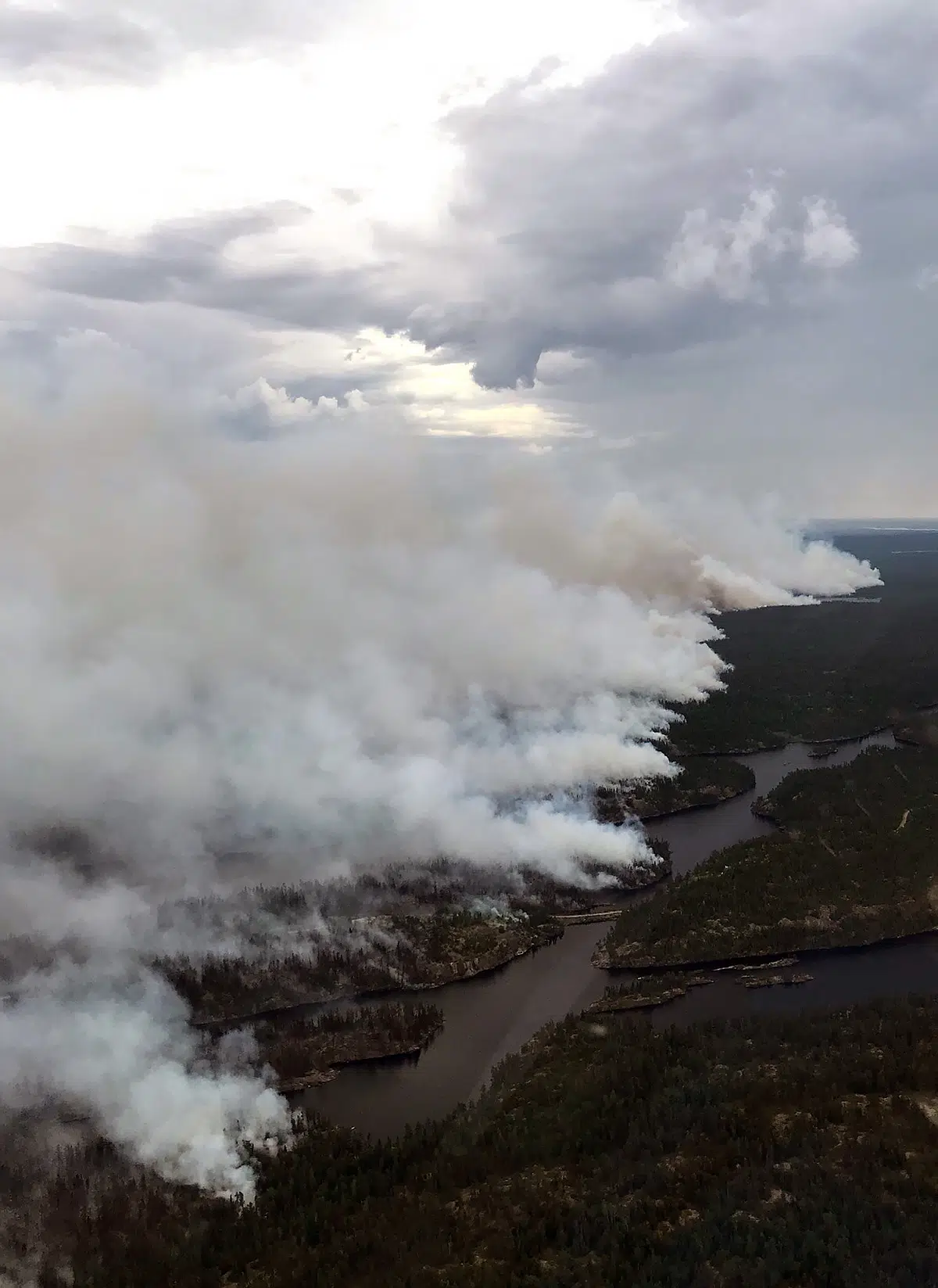
A wildfire 26 kilometres north of Wabaseemoong is now over 9,000 hectares in size.
The Ministry of Natural Resources and Forestry says they’ve re-mapped Kenora Fire #71 after recent growth over the past few days.
Between 70 and 80 Wabaseemoong residents are still staying in Rat Portage First Nation because of smoke drifting into their home community.
MNRF crews continue to set up a base camp at Minaki to help tackle the fire, which they say could get worse as we get more warm sunny weather.
An Emergency Area Order also remains in place on the Werner Lake Road due to Kenora Fire #71. (Photo: Supplied, Ontario Ministry of Natural Resources and Forestry


